
Bangalore-Chennai Expressway: A 262 km Expressway for Faster Travel
Contents
- What is the Bangalore-Chennai Expressway?
- Bangalore-Chennai Expressway Route Map
- Travel Time & Toll Rates
- Important Facts About the Bangalore-Chennai Expressway
- Real Estate Growth Along the Bangalore-Chennai Expressway
- Bangalore-Chennai Expressway is Executed in Several Phases
- Key Benefits of the Bangalore-Chennai Expressway
- Construction Status & Timeline
- Future Developments & Connectivity
- The Final Word
- Frequently Asked Questions
- How will the expressway impact real estate?
- How long is the Bangalore-Chennai Expressway?
- What route does the Bangalore-Chennai Expressway follow?
- What infrastructure is planned along the route?
- Will property values rise along the expressway?
- When is the expressway expected to be completed?
The Bangalore-Chennai Expressway is set to be a game-changer for travel and transport between two of South India’s busiest cities. Covering a distance of 262 kilometres, this new expressway will make journeys quicker, smoother, and less stressful—whether you're heading out for work, a weekend trip, or moving goods. It's designed to ease the load on the current routes and cut travel time significantly. As part of the Bharatmala Pariyojana, this greenfield project is not just about better roads—it's about connecting key economic hubs and making movement across the region more efficient for everyone.
What is the Bangalore-Chennai Expressway?
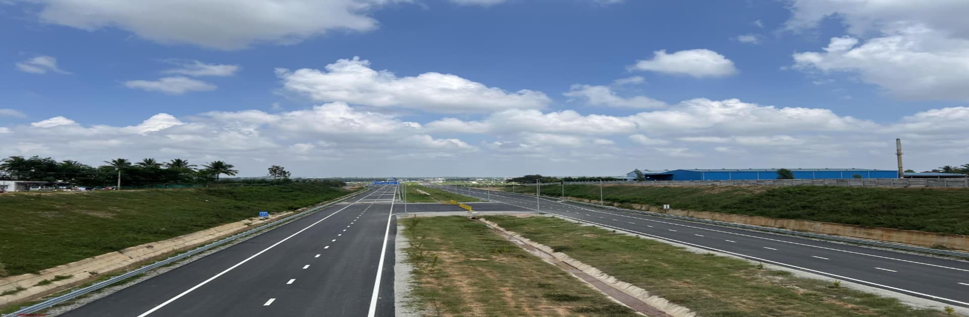
The Bangalore to Chennai expressway is a high-speed, access-controlled expressway under construction, connecting Hoskote in Karnataka to Sriperumbudur in Tamil Nadu. Designed for speeds of up to 120 km/h, the road will bypass congested towns and shorten travel time significantly. Built with modern engineering standards, the expressway is expected to be a game-changer for commuters and industries alike, offering faster, smoother, and more reliable connectivity between Bangalore and Chennai.
Bangalore-Chennai Expressway Route Map
The Chennai-Bangalore Expressway route map begins at Hoskote near Bangalore and ends at Sriperumbudur, just outside Chennai. It passes through regions in Karnataka, Andhra Pradesh, and Tamil Nadu, including Chittoor.

Travel Time & Toll Rates
● The Bangalore Chennai expressway travel time is expected to reduce from 6-7 hours to just 2.5-3 hours.
● The expressway will be tolled, with charges likely varying by distance travelled and vehicle type.
● Exact toll rates are yet to be confirmed.
● Despite toll costs, the savings in time and fuel are expected to outweigh the expense for most commuters.
Important Facts About the Bangalore-Chennai Expressway
The expressway is being developed as a 4-lane (expandable to 6-lane) greenfield corridor under the Bharatmala programme. It’s fully access-controlled and includes underpasses, bridges, and service roads. The total length is 262 km, and the project is being developed in multiple packages for efficient execution. The Bangalore to Chennai Expressway will also feature rest areas and emergency response systems, making it safer and more traveller-friendly.
Real Estate Growth Along the Bangalore-Chennai Expressway
The corridor is already witnessing a visible Bangalore Chennai expressway real estate impact, especially in areas like Chittoor, Hoskote and Sriperumbudur. Improved connectivity is driving interest from investors and developers for residential, industrial, and warehousing projects. As the expressway nears completion, land values near interchanges and toll plazas are expected to rise, offering opportunities for both short-term and long-term investors.
Bangalore-Chennai Expressway is Executed in Several Phases
The expressway is being built in three phases:
● Phase 1: Covers Karnataka
● Phase 2: Spans parts of Andhra Pradesh and Tamil Nadu
● Phase 3: Covers Tamil Nadu up to Sriperumbudur
Each phase is progressing independently with specific contractors and timelines. The phased execution helps manage land acquisition, environmental clearance, and construction logistics effectively, keeping the Chennai Bangalore Expressway route map on track.
Key Benefits of the Bangalore-Chennai Expressway
Apart from faster travel, the Bangalore Chennai Expressway offers multiple benefits: reduced fuel consumption, decongestion of NH 44, and better trade routes between Karnataka and Tamil Nadu. Industries in logistics, e-commerce, and manufacturing will gain from quicker cargo movement. The project also promotes balanced regional development by bringing infrastructure to smaller towns and rural belts along the corridor.
Construction Status & Timeline
As of 2025, multiple segments of the expressway are under construction, with visible progress in Karnataka and Chittoor sections. Land acquisition has been completed for most packages, and civil works are ongoing. The Bangalore Chennai expressway completion date is targeted for partial opening by 2026 and full operation by 2027.
Future Developments & Connectivity
Future plans include service roads, solar lighting, and possibly EV charging stations. The expressway will be linked with industrial corridors and feeder roads to ensure seamless last-mile connectivity. Plans are also being made to integrate the expressway with upcoming freight and logistics parks. This ensures that the Chennai Bangalore Expressway route remains not just a road but a vital economic spine between two metro cities.
The Final Word
The Bangalore-Chennai Expressway is not just about quicker travel—it’s a bold move towards smarter infrastructure. With its modern design, phased execution, and long-term regional impact, it stands to benefit not only daily commuters but also businesses and investors. As one of the flagship greenfield highways in India, the Bangalore to Chennai Expressway is all set to reshape the future of road travel and economic activity in South India.