

Ahmedabad-Dholera Expressway: Essential Info for Travellers
Contents
- About the Ahmedabad-Dholera Expressway
- Key Points and Details Travellers Should Be Aware Of
- Ahmedabad-Dholera Expressway: Impacts and Benefits
- Detailed Route and Map of the Ahmedabad-Dholera Expressway
- Ahmedabad-Dholera Expressway Project: Timeline
- Frequently Asked Questions
- Has the new expressway between Ahmedabad and Dholera opened yet?
- What are the most recent updates on the Dholera Expressway?
- What is the distance between Dholera and Ahmedabad?
- What is the overall budget for the Ahmedabad-Dholera Expressway?
- What is the scheduled start date for the Ahmedabad-Dholera Expressway Project?
With the rising importance of smart cities and rapid industrialisation, connectivity has become the cornerstone of development. The Ahmedabad-Dholera Expressway stands as a testament to this vision, aiming to bridge the gap between Gujarat’s bustling urban centre and its futuristic greenfield smart city. More than just a road, this expressway represents speed, planning, and opportunity. For those travelling from Ahmedabad to Dholera, this expressway offers a streamlined experience, both in terms of time saved and potential unlocked.
About the Ahmedabad-Dholera Expressway
The Ahmedabad-Dholera Expressway is a four-lane, access-controlled highway currently under construction in Gujarat, designed to significantly reduce travel time between Ahmedabad and the upcoming Dholera Special Investment Region (DSIR). Spanning approximately 109 kilometres, this expressway is part of the Delhi-Mumbai Industrial Corridor (DMIC) and will be managed by the National Highways Authority of India (NHAI).
This expressway is not just about physical infrastructure; it plays a crucial role in connecting Ahmedabad to Dholera, a region designated for high-tech industries, urban planning excellence, and sustainable green infrastructure. Once completed, the expressway will help fuel growth, attract investors, and support the development of one of India’s most ambitious smart cities.
Key Points and Details Travellers Should Be Aware Of
For frequent travellers, real estate investors, and logistics players, there are several noteworthy features of this corridor. First, the expressway is being constructed with greenfield alignment, meaning it avoids congested areas and ensures high-speed, hassle-free movement. The road will also feature service lanes, truck bays, rest areas, and provisions for future expansion into six lanes.
The Ahmedabad-Dholera expressway route has been planned to minimise environmental disruption while maintaining proximity to industrial clusters. For regular road users, it promises shorter commute times, reducing the typical 2.5-hour drive to less than an hour.
Additionally, toll booths, surveillance systems, and emergency response facilities are being integrated into the project design. This ensures a safer, smoother experience for both cargo movement and private vehicles.
Ahmedabad-Dholera Expressway: Impacts and Benefits
The expressway’s impact will go far beyond travel time. One of the most direct advantages is enhanced access to Dholera, which has been envisioned as a hub for electronics, defence manufacturing, renewable energy, and advanced urban design. For businesses and investors, the expressway offers logistical efficiency and reliable access to both ports and industrial centres.
Moreover, the project is expected to stimulate employment generation, boost real estate values, and accelerate the development of the Ahmedabad-Dholera corridor. Villages and smaller towns along the alignment are likely to see infrastructure upgrades, which may improve local economies.
Environmental benefits also form part of the larger plan. With reduced congestion on existing roads and better fuel efficiency from smoother travel, the expressway contributes positively to emissions goals, a subtle but vital part of its long-term appeal.
Detailed Route and Map of the Ahmedabad-Dholera Expressway
The Ahmedabad-Dholera Expressway route begins near Sarkhej, on the outskirts of Ahmedabad, and extends to the Dholera Special Investment Region, passing through key locations such as Dholka, Bavla, and Navagam. The expressway has been aligned to provide direct and uninterrupted connectivity, bypassing major towns to ensure maximum travel efficiency.
Though maps are still being updated as construction progresses, the route can be traced through government releases and planning documents. The expressway will connect seamlessly to feeder roads, regional highways, and the Dholera International Airport, further strengthening the corridor’s importance.
The Ahmedabad-Dholera Expressway map, when viewed in the context of the DMIC and nearby infrastructure projects, paints a compelling picture of future-ready transport and regional planning.
Ahmedabad-Dholera Expressway Project: Timeline
The Ahmedabad-Dholera Expressway project was officially approved in 2020 to complete major construction works within 36 to 42 months. The foundation stone was laid with high expectations, and construction quickly picked up momentum. However, like many infrastructure projects across the country, this one too faced delays due to land acquisition hurdles and pandemic-related slowdowns.
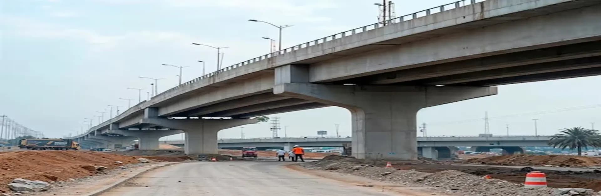
As of mid-2025, the Ahmedabad-Dholera Expressway's status indicates that over 75% of the construction is complete, with key bridges, culverts, and main carriageways nearing completion. The expressway is expected to be fully operational by early 2026, with test runs likely to begin a few months prior.
The Ahmedabad-Dholera Expressway is more than just a transport project; it’s a symbol of Gujarat’s forward-looking growth model. From cutting-edge planning and efficient execution to the strategic goal of linking urban centres with industrial futures, the project carries transformative potential.
Whether you're a frequent commuter, investor, or simply curious about the infrastructure shaping tomorrow’s cities, the expressway is worth keeping an eye on. As the Ahmedabad-Dholera Expressway Project nears completion, it stands ready to change not just how we travel, but how we envision the regions we connect.