Everything About Bangalore Metro: Lines, Routes, Timings, and More
Contents
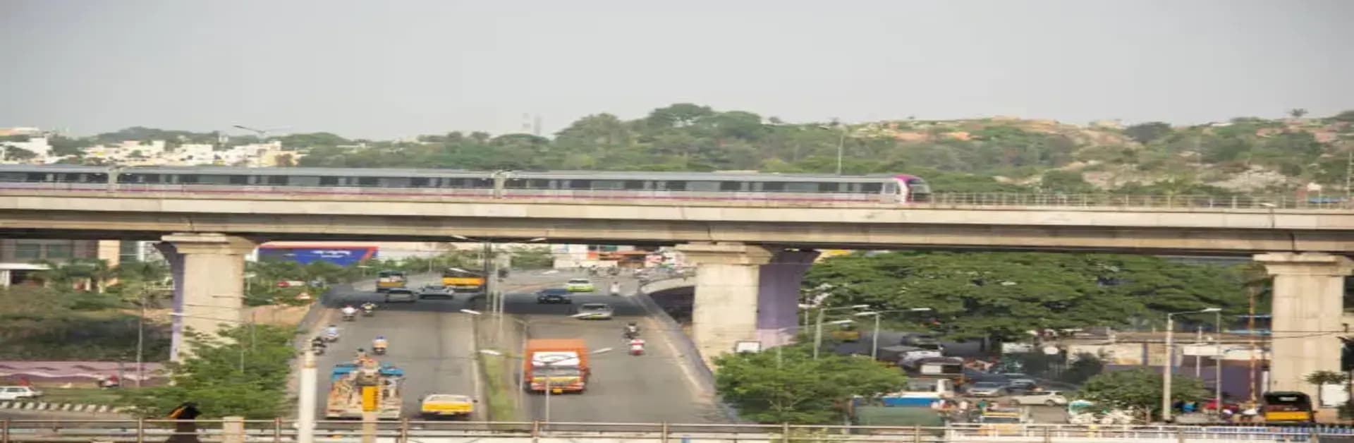
The Bangalore Metro, officially known as Namma Metro, is a lifeline for the bustling city of Bangalore. Designed to ease the city’s growing traffic congestion, the Bangalore Metro offers a reliable, fast, and affordable mode of transportation for commuters. Whether you are a resident or a visitor, understanding the Bangalore Metro lines, routes, and schedules can help you navigate the city effortlessly. In this guide, we’ll cover everything you need to know about the Bangalore Metro map, Bangalore Metro timings, and key stations across different corridors.
An Overview of Bangalore Metro
Launched in 2011, the Bangalore Metro is India's third operational metro rail network after Delhi and Kolkata. It is operated by Bangalore Metro Rail Corporation Limited (BMRCL) and has rapidly expanded over the years. The metro connects major residential, commercial, and IT hubs, making travel within the city more efficient.
The metro system currently consists of two major operational corridors, with several new Bangalore Metro lines under construction to improve connectivity.
Bangalore Metro Lines and Routes
The Bangalore Metro lines are colour-coded for easy identification. Currently, the network consists of two operational lines with ongoing expansions that will further enhance connectivity.
1. Purple Line (East-West Corridor)
The Purple Line is a crucial corridor connecting the eastern and western parts of the city. It runs from Whitefield (Kadugodi) to Challaghatta, covering a distance of approximately 42.5 kilometres.
Key Stations on the Purple Line:
- Whitefield (Kadugodi)
- ITPL
- KR Puram
- MG Road
- Majestic (Interchange with Green Line)
- Vijayanagar
- Nayandahalli
- Mysore Road
- Challaghatta
The Purple Line offers the most convenient solution if you frequently travel between Bangalore's IT corridors and the central business district. You can check the full Namma metro routes to plan your journey better.
2. Green Line (North-South Corridor)
The Green Line connects the northern and southern parts of Bangalore, running from Nagasandra to Silk Institute and covering approximately 30 kilometres.
Key Stations on the Green Line:
- Nagasandra
- Yeshwanthpur
- Rajajinagar
- Majestic (Interchange with Purple Line)
- Lalbagh
- Jayanagar
- Banashankari
- Silk Institute
Upcoming Bangalore Metro Lines
Bangalore Metro is expanding rapidly, with new lines under development to cover more areas of the city. Some of the upcoming corridors include:
- Yellow Line (RV Road to Bommasandra) – Connecting Electronics City.
- Pink Line (Kalena Agrahara to Nagawara) – Linking Bannerghatta Road to the northern regions.
- Blue Line (KR Puram to Kempegowda International Airport) – Providing direct metro connectivity to the airport.
Keep an eye on the official Bangalore Metro map updates to stay informed about new routes.
Bangalore Metro Map
The Bangalore Metro map is essential for planning your travel across the city. You can easily find it online on the BMRCL website or at metro stations. The map displays all operational stations, interchange points, and upcoming lines to help passengers choose the most efficient routes.
For an interactive experience, several apps provide real-time navigation and route planning for the Bangalore Metro, ensuring hassle-free travel.
Bangalore Metro Timings
Knowing the Bangalore Metro timings is crucial to avoid last-minute delays and make the most of your day. The metro operates with the following schedule:
| Day | First Train | Last Train | Frequency (Peak Hours) | Frequency (Non-Peak Hours) |
| Weekdays (Mon-Sat) | 5:00 AM | 11:00 PM | Every 5-10 minutes | Every 10-15 minutes |
| Sundays & Holidays | 7:00 AM | 11:00 PM | N/A | Every 10-15 minutes |
If you are planning a late-night commute or an early-morning journey, always check the latest Bangalore Metro timings to avoid inconvenience.
Metro Fare and Ticketing Options
The Bangalore Metro fare is affordable, making it an ideal mode of transport for daily commuters. Fares typically range from INR 10 to INR 60 depending on the distance travelled.
Ticketing Options:
- Tokens: These are available for single journeys and can be purchased at station counters.
- Smart Cards: Ideal for regular travellers, offering discounts and seamless travel across the metro network.
- QR Code Tickets: You can generate QR code tickets via mobile apps, reducing the need for physical tokens.
The Bangalore metro stations are well-equipped with amenities, making commuting convenient and safe for all passengers.
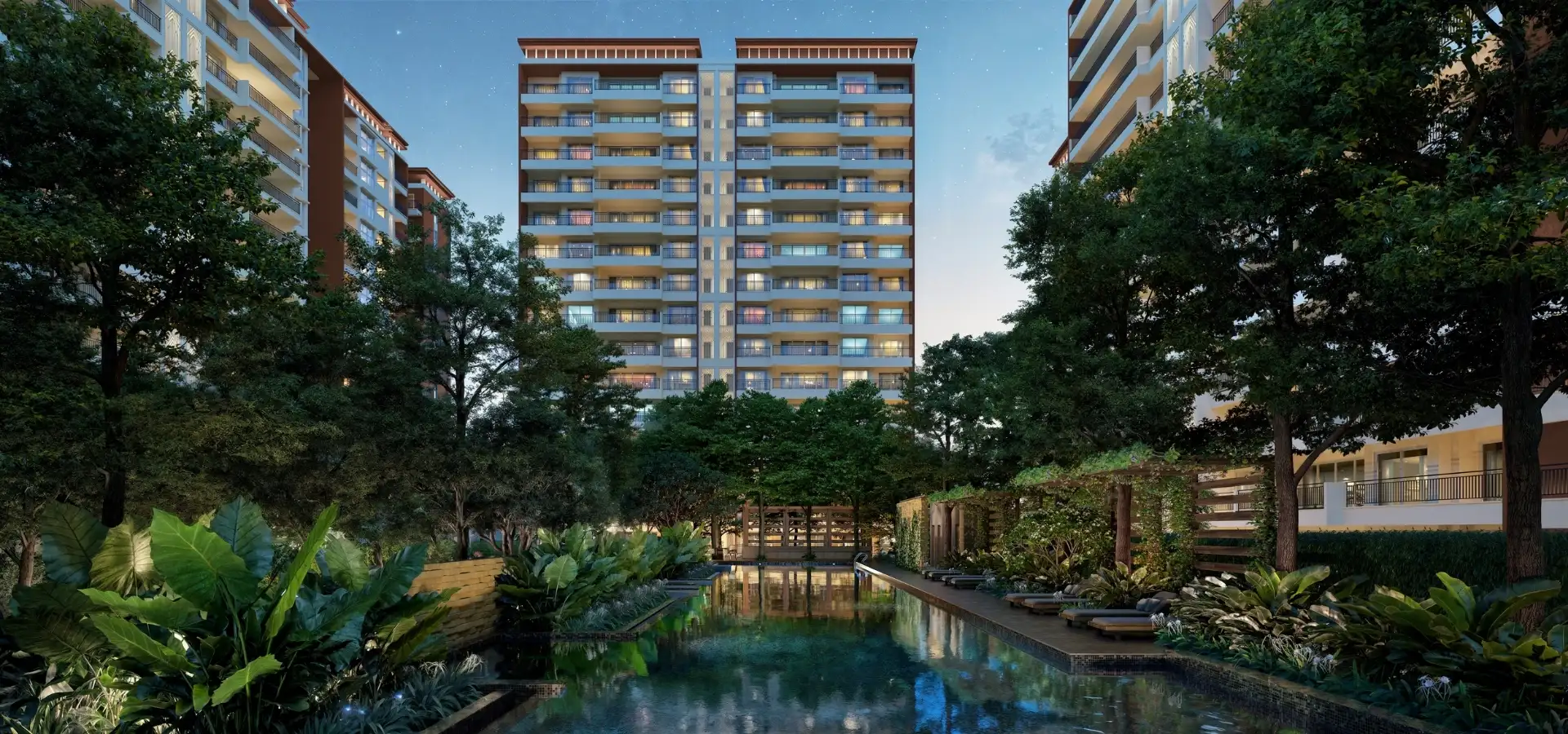
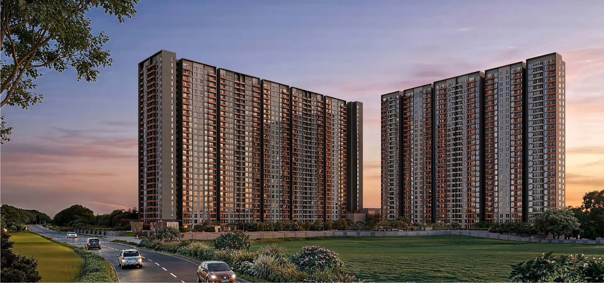
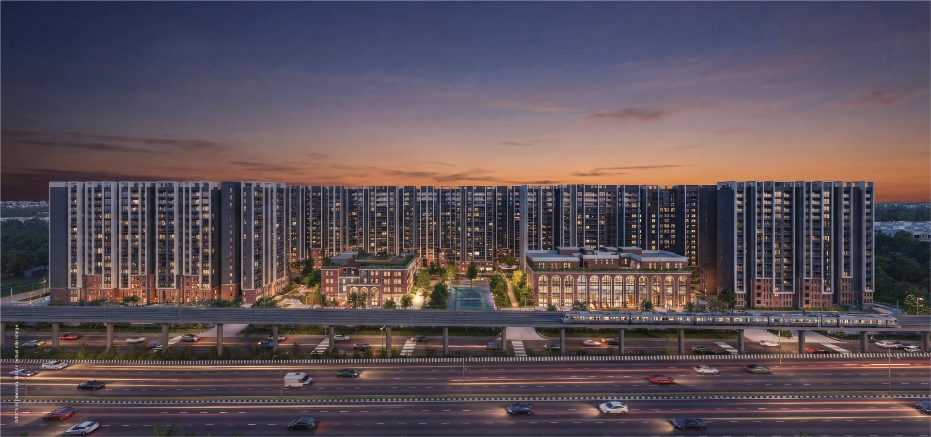
The Bangalore Metro has revolutionised commuting in the city, offering a fast, affordable, and eco-friendly way to travel. Whether you’re commuting daily for work or exploring the city’s attractions, understanding the Bangalore Metro lines, using the Bangalore Metro map, and being aware of the latest Bangalore Metro timings can make your journey more convenient. With ongoing expansions and continuous improvements, the Bangalore Metro is set to become one of the most extensive and efficient metro networks in India, making it a crucial factor for Bangalore property investment near accessible transport hubs.