
Bharatmala Project: Route Map, Benefits & Key Highlights
Contents
India, with its ever-growing economy and expanding aspirations, has always known that good infrastructure is the backbone of progress. Roads and highways are more than just pathways for vehicles; they connect people, open up markets, and breathe life into distant corners of the country. Over time, several road development schemes have come and gone. But many were scattered efforts, limited to specific regions. That’s where the Bharatmala Pariyojana Project steps in, a well-thought-out, nationwide blueprint aimed at reimagining India’s highway network from the ground up.
What is the Bharatmala Pariyojana?
Launched in 2017 by the Government of India, the Bharatmala Pariyojana is a centrally-sponsored programme that goes far beyond just laying down new roads. It’s a strategic initiative designed to connect economic corridors, improve border and coastal access, and bridge gaps in connectivity, especially in underserved areas.
This project is driven by the Ministry of Road Transport and Highways and is set to be a game-changer in India’s road development story. From boosting trade and cutting down travel time to making far-flung regions more accessible, the Bharatmala Pariyojana project is all about building smarter, faster, and more connected highways.
Bharatmala Project Route Map: What’s Covered?
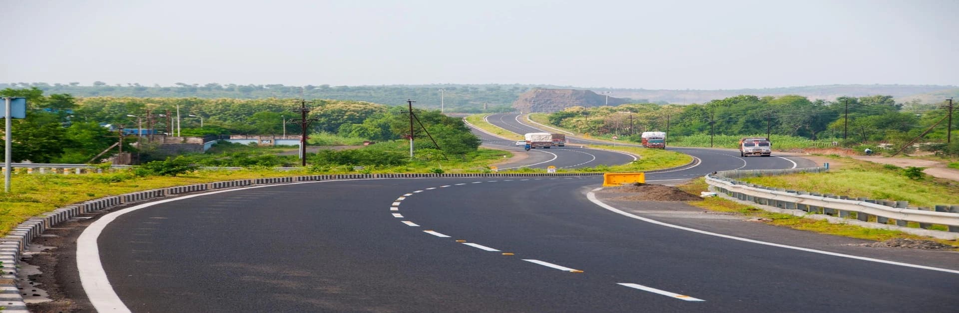
The Bharatmala project route map isn’t just a line on paper. It’s a massive network planned across India to enhance mobility and logistics efficiency. The goal? To build nearly 83,000 km of highways in multiple phases, with Phase 1 alone targeting around 34,800 km of roads.
Some highlights from the planned routes include:
● 44 economic corridors
● 24 feeder routes
● 66 inter-corridor roads
● Border and international connectivity roads
● Coastal and port access roads
Each segment is designed to serve a purpose, be it improving defence preparedness at the borders or streamlining freight movement near industrial hubs and ports.
Looking to dive deeper into the layout? The Bharatmala project map PDF is often shared on the Ministry’s official website and is a great reference for anyone following the project’s development.
Key Phases and What They Mean
The Bharatmala Pariyojana has been broken down into phases to make implementation more manageable and results more measurable.
Phase 1 (Currently Active):
● Target: 34,800 km of roads
● Estimated Budget: INR 5.35 lakh crore
● Focus: Economic corridors, expressways, border and tribal area roads
Key components include:
● Economic Corridors: To decongest existing roads and handle high freight volumes
● Border Roads: For enhanced access and movement in border states
● Coastal and Port Connectivity: To facilitate smoother industrial transport
● Greenfield Expressways: Newly built roads from scratch for high-speed connectivity
Each corridor is selected based on freight flow, strategic importance, and potential economic impact.
Read More about: Importance of Expressways in Real Estates in India
Where Things Stand and What’s Next
As of now, a good portion of Phase 1 is either completed or well under construction. Of course, like most large-scale projects, it has faced its share of speed bumps, land acquisition delays, and the COVID-19 pandemic being major ones. Still, the government has shown continued commitment to pushing the project forward.
Plans for Phase 2 are already in the works, targeting another 50,000 km of roads. This next wave is expected to further extend connectivity to rural zones, economic clusters, and underdeveloped regions.
Why the Bharatmala Project Matters
The Bharatmala project details make one thing clear: this is not just about roads. It’s about what roads can do: connect small towns to big cities, bring industries closer to ports, and reduce travel time for both people and goods. It’s about better logistics, improved safety, and laying the groundwork for a truly connected India.
If you're a logistics enthusiast, infrastructure buff, or simply someone curious about where India’s growth is headed, keeping tabs on the Bharatmala Pariyojana project is worth your while. Whether you're tracking road construction progress or looking for the Bharatmala project map PDF, the Ministry of Road Transport and Highways' official site is a great place to start.
In the coming years, as more kilometres get added and more regions get connected, the Bharatmala Pariyojana promises to make India’s roadways not just longer, but smarter and stronger too.