Pune-Bangalore Expressway: Route, Distance, Key Features, and More
8.6K
Discover what the Pune-Bangalore Expressway means for the future of travel between two major cities. From reduced journey times and a thoughtfully planned route to modern features and economic impact, this blog offers a clear glimpse into how the expressway is set to transform connectivity, commerce, and convenience across regions.
Contents
- The Proposed Pune-Bangalore Expressway Route
- Distance and Time Savings
- Key Features of the Expressway
- Enhanced Connectivity and Economic Impact
- Project Status & Approvals
- DPR Approval, Central / State Clearance & Timeline
- Land Acquisition Progress & Challenges
- Pune-Bangalore Expressway Routes States & Districts Covered
- Toll Charges for Pune-Bangalore Expressway
- Corridor Development: Real Estate Impact & Zones Likely to See Maximum Appreciation
- The Final Word
Connecting two of India’s most vibrant cities, the Pune Bangalore expressway is set to redefine travel between Pune and Bangalore. This upcoming expressway promises to cut down travel time significantly while offering smooth and seamless connectivity. Designed to handle high-speed traffic, the expressway aims to enhance trade, tourism, and daily commuting. With state-of-the-art features, this infrastructure project is poised to become a landmark in India’s transport network.
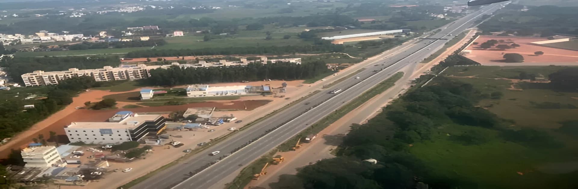
The Proposed Pune-Bangalore Expressway Route
The Pune Bangalore expressway route map showcases a well-planned alignment that links key urban and industrial centres. Starting near Pune, the expressway will pass through major locations like Satara, Kolhapur, and Belgaum, before reaching Bangalore. With connections to national highways and bypasses for congested areas, the expressway ensures convenience. The Pune to Bangalore expressway map reflects a route optimised to offer the shortest distance while maintaining high-speed standards.
Distance and Time Savings
Spanning approximately 700 kilometres, the Pune Bangalore Greenfield expressway is expected to drastically reduce travel time between the two cities. Currently, the journey takes around 12-14 hours, but with this expressway, it is projected to take only 6-8 hours. This reduction will benefit not only commuters but also businesses that rely on efficient logistics between Pune and Bangalore.
Key Features of the Expressway
The Pune Bangalore expressway is designed to incorporate advanced features for safety and efficiency. With six to eight lanes, the expressway ensures uninterrupted traffic flow. There will be dedicated service lanes for local vehicles and provisions for emergency services. Toll plazas equipped with FASTag will minimise wait times. Well-placed rest stops along the route will cater to travellers’ needs with fuel stations, restaurants, and restrooms. The Pune Bangalore expressway route map also includes provisions for bypassing cities to avoid congestion.
Enhanced Connectivity and Economic Impact
This expressway will strengthen the economic link between Maharashtra and Karnataka. Industrial hubs like Kolhapur and Belgaum will gain enhanced access to markets and resources. The connectivity will also boost tourism, making popular spots like Panchgani, Lonavala, and Mysore more accessible. By reducing transportation costs, the Pune to Bangalore expressway is expected to benefit businesses and drive regional development.
Project Status & Approvals
DPR Approval, Central / State Clearance & Timeline
The Pune Bangalore Greenfield expressway is part of the Bharatmala Pariyojana programme. The National Highways Authority of India (NHAI) prepared the detailed project report (DPR), which has been approved by both Maharashtra and Karnataka governments. Final clearance from the central government is awaited. Once approvals are complete, the construction phase is expected to begin, with a targeted completion timeline of around five to six years.
Land Acquisition Progress & Challenges
The project requires about 21,000 acres of land, of which nearly 7,100 acres fall in Maharashtra and the rest in Karnataka. Acquisition will start only after the central clearance. Since the Pune Bangalore expressway passes through fertile belts, compensations and resettlement measures are key challenges. Officials are already working on frameworks to handle these concerns fairly.
Pune-Bangalore Expressway Routes States & Districts Covered
The pune bangalore expressway route will span about 745 km across 12 districts.
- Maharashtra: Pune (Kanjale village near Ring Road), Satara, Sangli
- Karnataka: Belagavi, Bagalkot, Gadag, Koppal, Vijayanagar, Davanagere, Chitradurga, Tumakuru, Bengaluru Rural, Bengaluru Urban
Toll Charges for Pune-Bangalore Expressway
The final toll structure is yet to be declared. Based on similar expressways, a broad estimate is as follows:
| Vehicle Type | Approximate Toll per km | Full Route Estimate (745 km) |
| Car / Jeep | ₹2.0 – ₹2.5 | ₹1,500 – ₹1,800 |
| Light Commercial | ₹3.5 – ₹4.0 | ₹2,600 – ₹3,000 |
| Heavy Vehicles | ₹6.0 – ₹7.0 | ₹4,500 – ₹5,200 |
These figures are indicative and will depend on government decisions closer to opening.
Corridor Development: Real Estate Impact & Zones Likely to See Maximum Appreciation
The Pune to Bangalore expressway is expected to trigger strong real estate growth along its path. Industrial hubs in Pune, Kolhapur, and Belagavi will attract fresh investment, while areas like Satara and Davanagere may see rising housing demand. Improved connectivity between Bengaluru and western Maharashtra will make logistics parks, warehouses, and residential townships more attractive along the Pune Bangalore Greenfield expressway corridor. This appreciation will be most visible around bypass junctions and industrial belts.
The Final Word
The Pune Bangalore expressway is a significant step forward in improving connectivity and reducing travel time. With its thoughtful design and advanced features, the expressway will set new benchmarks in infrastructure development. Whether you are a frequent traveller or a business owner, this project promises to make your journey faster, safer, and more comfortable. As construction progresses, this expressway is expected to transform travel between Pune and Bangalore, bringing the two cities closer than ever before.