
Narmada Expressway: All You Need to Know
4.4K
Contents
The Narmada Expressway is a key infrastructure project aimed at improving connectivity across Madhya Pradesh. Stretching over 1,300 kilometres, it runs parallel to the Narmada River, linking vital towns and industrial hubs. Once completed, this expressway will provide a seamless travel experience while promoting regional economic growth. By connecting east and west Madhya Pradesh, the Narmada Expressway route plays a crucial role in transforming the state’s logistics and real estate landscape.
Overview of the Narmada Expressway Route
The Narmada Expressway route begins at Amarkantak in the east, known for the origin of the Narmada River, and extends to Alirajpur in the west near Gujarat’s border. This expressway covers major towns such as Jabalpur, Hoshangabad, Khandwa, and Barwani, making it a vital corridor for trade and transport.
The Narmada Expressway map shows its strategic alignment with industrial areas and agriculture zones, boosting connectivity to urban centres and markets. It also links with the Delhi-Mumbai Industrial Corridor (DMIC), ensuring better access to national highways and promoting faster goods movement.
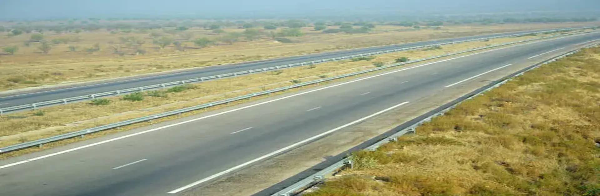
Key Features and Benefits
The Narmada Expressway is designed as a four-lane road with provisions for future expansion. Its features include:
- Eco-sensitive planning to protect the Narmada River ecosystem.
- Access-controlled design to reduce travel time and enhance safety.
- Linkage to major highways such as NH-44 and NH-47.
The expressway facilitates quick access to tourist destinations like Kanha National Park and the Marble Rocks in Jabalpur, promoting tourism in the state. It also improves connectivity to ports in Gujarat, boosting trade prospects for Madhya Pradesh’s agricultural and industrial output.
Economic and Real Estate Opportunities
The construction of the Narmada Expressway is expected to spur economic growth by opening up investment opportunities in logistics, warehousing, and real estate. Industrial clusters along the route benefit from reduced transportation costs and quicker access to markets.
Real estate development is gaining momentum in towns like Jabalpur and Hoshangabad, with housing projects catering to professionals and families. The improved infrastructure is also encouraging migration to these areas, leading to a rise in demand for commercial and residential properties.
The Final Word
The Narmada Expressway is a lifeline for Madhya Pradesh’s development. By connecting key towns, promoting tourism, and enabling trade, it lays the foundation for economic and social progress. The Narmada Expressway route not only strengthens the state’s infrastructure but also creates numerous opportunities for investment and growth. With its strategic planning, the Narmada Expressway map marks a milestone in India’s transport network.