
Mumbai-Pune Expressway: Key Information
Contents
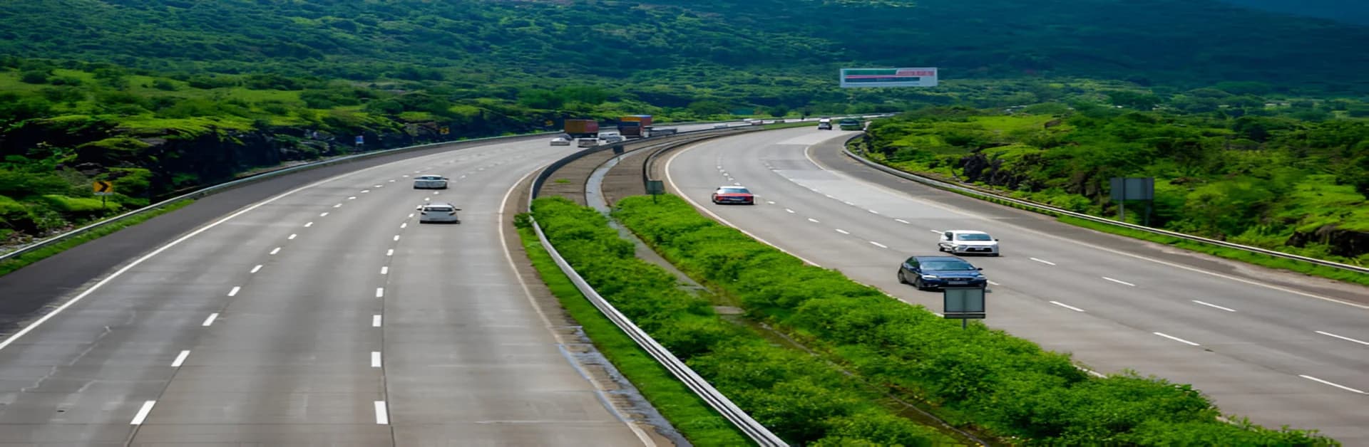
The Mumbai Pune expressway is India’s first six-lane, fully concrete highway. It connects Mumbai, the financial capital, to Pune, a thriving educational and IT hub. Known for its efficiency and safety, this expressway has significantly reduced travel time and improved connectivity between the two cities. Stretching over a picturesque route, it has become a preferred choice for commuters. Here’s everything you need to know about the Mumbai Pune highway.
Mumbai Pune Expressway Distance
The total Mumbai Pune Expressway distance is approximately 94.5 km, making it one of the shortest yet fastest routes between the two cities. The journey takes about 2.5 to 3 hours under normal traffic conditions. For those travelling from Mumbai, the starting point is at Kalamboli near Navi Mumbai, and it ends at Dehu Road near Pune.
Key Features of the Mumbai Pune Expressway
The expressway offers multiple features to enhance safety and convenience for travellers:
- Tunnels: Six tunnels, including the notable Khandala and Bhatan tunnels, ensure a smooth drive through the Western Ghats.
- Toll Plazas: Two major toll plazas collect fees to maintain the high-quality infrastructure.
- Rest Stops: Several well-equipped rest areas, like the Food Plaza at Khalapur and Talegaon, offer food and relaxation options.
Mumbai Pune Expressway Route Map
The Pune Mumbai expressway route map features several popular landmarks, providing a mix of scenic beauty and functional utility. Key points include:
- Lonavala and Khandala: These iconic hill stations are ideal for a quick stopover to enjoy panoramic views.
- Amrutanjan Bridge: This engineering marvel is a key highlight on the expressway.
- Khalapur: Known for its food courts and petrol pumps, this is a frequent stop for travellers.
Using an updated Mumbai Pune expressway map can help you locate these landmarks and plan your stops efficiently. Motorists are also looking forward to the new expressway route map as the "Missing Link" project nears completion in mid-2026, which will bypass the steep Khandala Ghat section and reduce travel time even further.
Tips for a Safe Journey on the Mumbai Pune Highway
- Stick to Speed Limits: The Mumbai Pune expressway has a speed limit of 100 km/h for cars in flat sections and 60 km/h in ghat sections to ensure safety.
- Use Service Lanes: Follow designated service lanes during breakdowns.
- Check Weather Conditions: Monsoons can make driving tricky due to heavy rainfall and fog.
The Final Word
The Mumbai Pune expressway has revolutionised travel between two of Maharashtra’s most important cities. Its smooth roads, breathtaking views, and well-planned infrastructure have made it a favourite for commuters and tourists alike. By using the Mumbai Pune expressway route map, you can plan a safe and enjoyable journey. Whether you are travelling for work or leisure, the Mumbai Pune highway offers a seamless driving experience, bridging the distance between Mumbai and Pune efficiently.